17 Oct 2018
Dashboard for Agricultural Monitoring
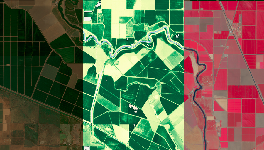
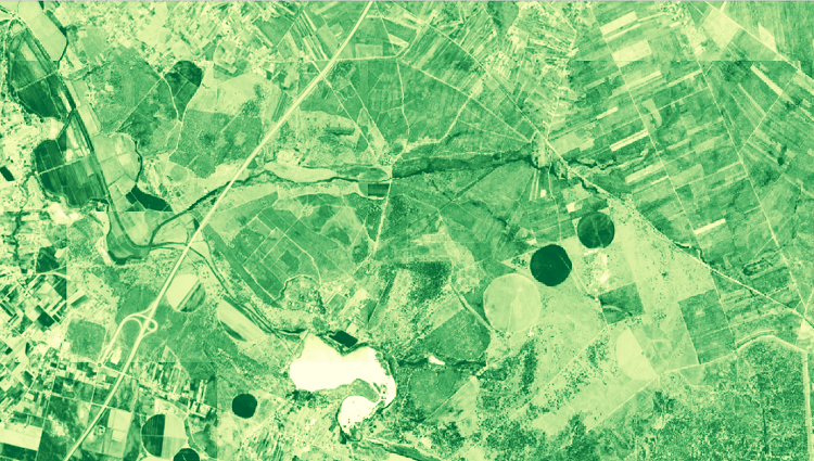
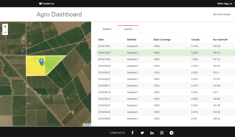
The Dashboard for Agricultural Monitoring is a service created for visual demonstration of satellite data (NDVI) and weather data (forecast, historical and accumulated parameters), which you can ge...