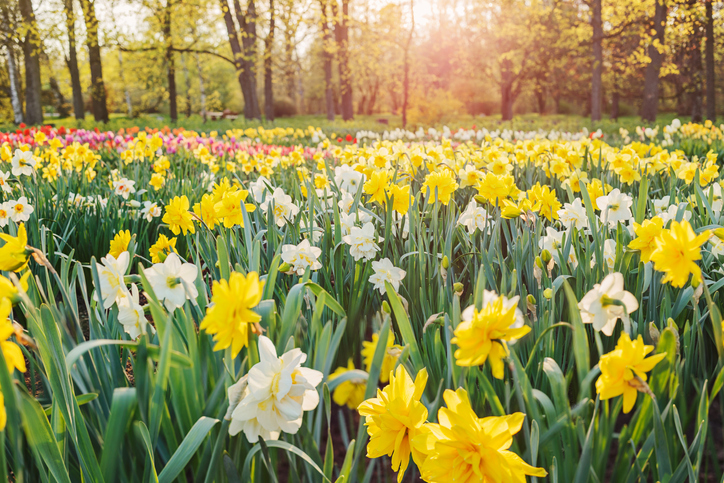
You know where you are with the OpenWeather Geocoding API.

You know where you are with the OpenWeather Geocoding API.

Our API takes the name of any global location or zip code, and converts it into a list of coordinates (known as direct geocoding) as well as converting a geolocation into a list of place names (reverse geocoding).

The Secret Ingredient For a Sustainable Wine Industry

The Secret Ingredient For a Sustainable Wine Industry

The Secret Ingredient For a Sustainable Wine Industry

Visual global agricultural data in less time than a raindrop takes to fall to earth.

Visual global agricultural data in less time than a raindrop takes to fall to earth.

Visual global agricultural data in less time than a raindrop takes to fall to earth.

The fruity future of wine

The fruity future of wine

The fruity future of wine.

Light up your app with the beautiful rain maps with 10 minute step API

Light up your app with the beautiful rain maps with 10 minute step API

OpenWeather have introduced their Global Precipitation Maps - Forecast and Historical data API that offers data with just a ten minute step, and US forecasts for the next six hours.

Dive into Agro API Part 5 | Accumulated temperature and precipitation by polygon

Dive into Agro API Part 5 | Accumulated temperature and precipitation by polygon

The API to provide accumulated temperature and precipitation is part of the functionality of our APIs for the agricultural sector. Accumulated temperature and precipitation are calculated based on historical weather data, and play a fundamental role in agricultural productivity.

Discover NDVI and its practical uses in agriculture

Discover NDVI and its practical uses in agriculture

Quite often we receive questions like what NDVI is, how to use it and why would a farmer require using it at all.

Building visual agro service based on weather and satellite data |  Part 2: Satellite imagery

Building visual agro service based on weather and satellite data | Part 2: Satellite imagery

This article is describing the ‘Satellite imagery’ page

Dive into Agro API | Part 4 – Satellite Imagery

Dive into Agro API | Part 4 – Satellite Imagery

The Satellite Imagery API is a part of our Agriculture API (Agro API) for the agricultural sector. OpenWeather provides satellite data for user-defined polygon in the format of images in true colour, false colour, NDVI and EVI indices, and of NDVI and EVI statistical data. To obtain them we suggest using our Satellite Imagery API.

OpenWeather 2019: results of the year. Historical weather data,  Weather API, Agro Dashboard

OpenWeather 2019: results of the year. Historical weather data, Weather API, Agro Dashboard

So, the new 2020 is nearly upon us and it is time to sum up what we have done in 2019.