

13 Sep 2023
Announcing Updates to the OpenWeather One Call API 3.0
The OpenWeather One Call API 3.0 is a complete, sophisticated yet simple, weather API that can be used within a range of applications to give accurate, useful and wide ranging w...
13 Sep 2023
The OpenWeather One Call API 3.0 is a complete, sophisticated yet simple, weather API that can be used within a range of applications to give accurate, useful and wide ranging w...
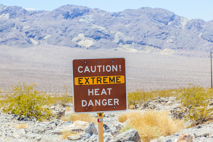
06 Sep 2023
The seemingly relentless 2023 heatwave that shows no signs of respite has been attributed to a combination of factors, including climate change, the El Niño weather pattern, as well as a stubbornly static gulf stream
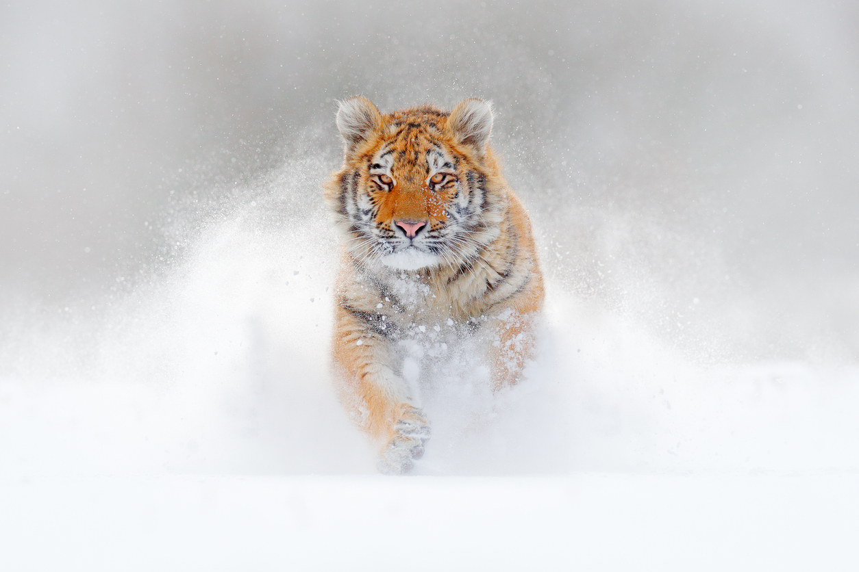
30 Aug 2023
The Wild Tiger is one of the world’s most enigmatic, evocative and unfortunately, most endangered of the world’s species. The effects of global warming and changing ecosystems have made survival increasingly difficult for this beautiful anima...
10 Aug 2023
Sport can be seen to symbolize human nature at its very best. For many, it can be a focus, a challenge, and create an individual’s barrier that is there to be broken. It enthuses people of all nationalities, backgrounds and ages, and can brin...

03 Aug 2023
Our planet’s vivid biodiversity is the result of 4.5 billion years of evolution, and appears in many forms - from genes and bacteria to entire ecosystems, including forests or coral reefs, and even bees. This variety of nature forms the bedro...

26 Jul 2023
Our sun provides a sustainable, clean and efficient energy source that is predictable, and enhanceable. Solar cells are increasing in efficiency, and new and innovative ideas are emerging from both governments and private sources to integrate...

10 Jul 2023
“The mark of great sportsmen is not how good they are at their best, but how good they are at their worst.” - Martina Navratilova
Once a year, in an otherwise unknown and somewhat sleepy...

27 Jun 2023
Rain often is derided as being unpleasant and inconvenient. It is seen as the weather that causes those fun outside events to be canceled, plans need to be changed, and umbrellas found. However, taking a slightly different viewpoint, rain can...

21 Jun 2023
The West coast of Ireland has some of the most beautiful scenery imaginable, but is also home to one of the most brutal tests of cycling endurance. The ‘Donegal 555’ is an annual race around a ro...

14 Jun 2023
On the 22nd April, International Earth Day was celebrated, and used to draw atten...
Download OpenWeather app