

21 Jun 2023
Fine Weather for Cycling Apps
The West coast of Ireland has some of the most beautiful scenery imaginable, but is also home to one of the most brutal tests of cycling endurance. The ‘Donegal 555’ is an annual race around a ro...
21 Jun 2023
The West coast of Ireland has some of the most beautiful scenery imaginable, but is also home to one of the most brutal tests of cycling endurance. The ‘Donegal 555’ is an annual race around a ro...

14 Jun 2023
On the 22nd April, International Earth Day was celebrated, and used to draw atten...

06 Jun 2023
This flexible and accurate product consists of two distinct APIs that can act as a valuable tool in predicting and managing forest fire risk, and create a positive impact in mitigating the damage caused by forest fires.

21 Jun 2022
The World Data League (WDL) represents the gathering together of the world’s leading data scientists to create real-world solutions to socially orientated problems, helping create a positive impa...

17 May 2022
Dave Waters once said “predicting the future isn’t magic, it’s artificial intelligence”.
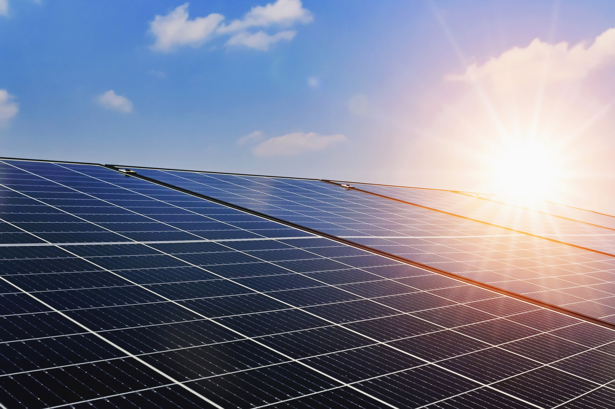
25 Apr 2022
The apparently magical ability to create energy from sunlight may seem to be of our age, but has been with us for millennia.
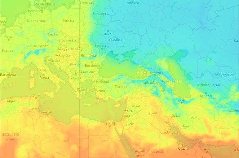
23 Mar 2022
Having global, accurate, feature-rich and graphical display of weather data can enhance application solutions in a wide variety of scenarios.
28 Feb 2022
There are countless ancient, yet rather dubious sayings about our weather ....

28 Feb 2022
The ever-present food delivery rider is now just as an intrinsic part of our urban lifestyle as our internet connection…
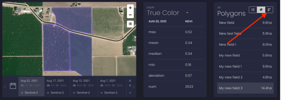
24 Jan 2022
Visual global agricultural data in less time than a raindrop takes to fall to earth.
Download OpenWeather app