

16 Feb 2024
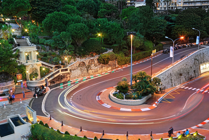
The Urban Chill
In our latest blog post we will explore the creative approaches that some of the world’s cities are using to build resilient and pleasant environments for people (and perhaps horses) to live.
16 Feb 2024
In our latest blog post we will explore the creative approaches that some of the world’s cities are using to build resilient and pleasant environments for people (and perhaps horses) to live.
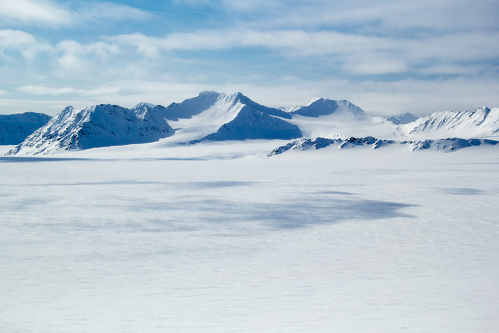
25 Jan 2024
Some of the most spectacular and beautiful, yet dangerous and inhospitable regions of our planet lie at its extremes - the North and South Poles. The lowest temperature ever officially recorded on the Earth’s surface was −89.2°C at ...
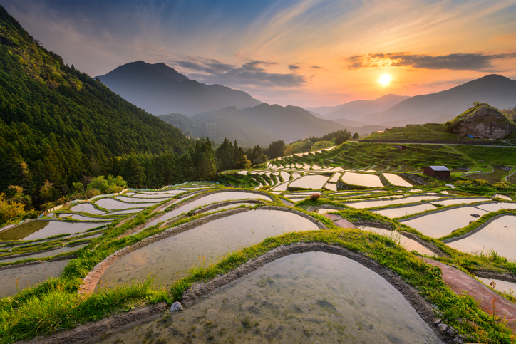
18 Jan 2024
Over half of the world’s population consumes rice. It is the staple food for an estimated three billion people, with some strains found to date back 10,000 years. The intense nature of its cultivation is putting increasing pressure on natural...
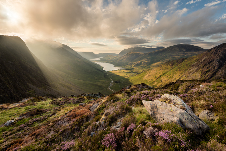
10 Jan 2024
One of the most evocative and beautiful areas of the UK, famous for its pristine lakes, dramatic fells, lush valleys, and rich cultural heritage is nestled in the Northwestern English county of Cumbria.

09 Nov 2023
We now take a look at some of the issues surrounding the permissioning of new green energy installations, and how different global regions are addressing these.

20 Oct 2023
While OpenWeather products reach around the globe, we are physically located in one of the most iconic and recognizable of London’s buildings, namely 30 St Mary’s Axe. The building was completed in December 2003, spans 41 floors, and is 180 m...
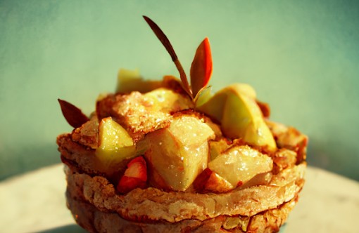
11 Oct 2023
What can be more comforting than the smell of a delicious apple pie? Freshly baked and simply bursting with the wonderful aromas and flavors of a fruit that is loved by millions of people. Apples are found in virtually every market around the...
10 Aug 2023
Sport can be seen to symbolize human nature at its very best. For many, it can be a focus, a challenge, and create an individual’s barrier that is there to be broken. It enthuses people of all nationalities, backgrounds and ages, and can brin...
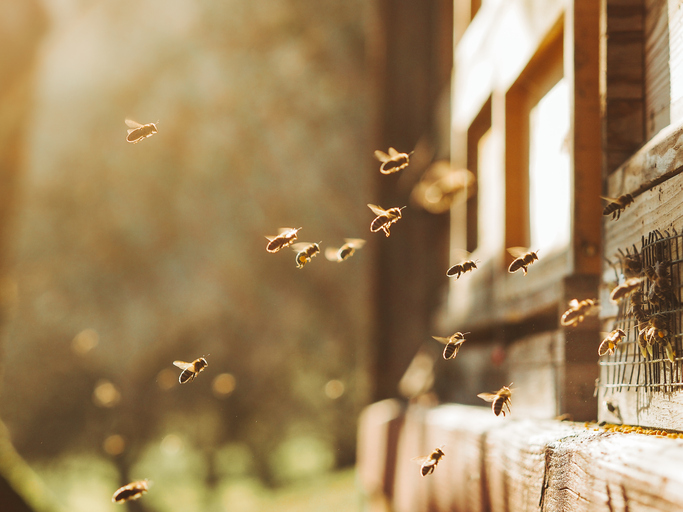
03 Aug 2023
Our planet’s vivid biodiversity is the result of 4.5 billion years of evolution, and appears in many forms - from genes and bacteria to entire ecosystems, including forests or coral reefs, and even bees. This variety of nature forms the bedro...
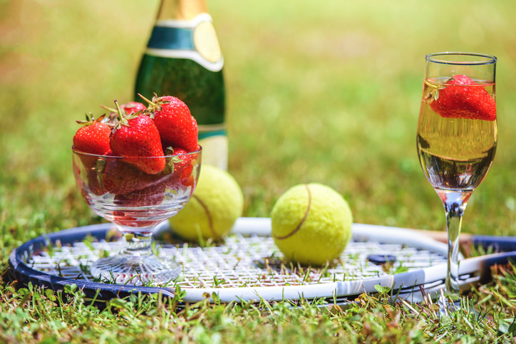
10 Jul 2023
“The mark of great sportsmen is not how good they are at their best, but how good they are at their worst.” - Martina Navratilova
Once a year, in an otherwise unknown and somewhat sleepy...
Download OpenWeather app