
23 Oct 2022
The Strategy of Climate Change - part 2
In our previous article on climate change, we looked into the local-level strategy that the UK government is adopting to create a more sustainable future. We now turn o...
23 Oct 2022
In our previous article on climate change, we looked into the local-level strategy that the UK government is adopting to create a more sustainable future. We now turn o...

17 Oct 2022
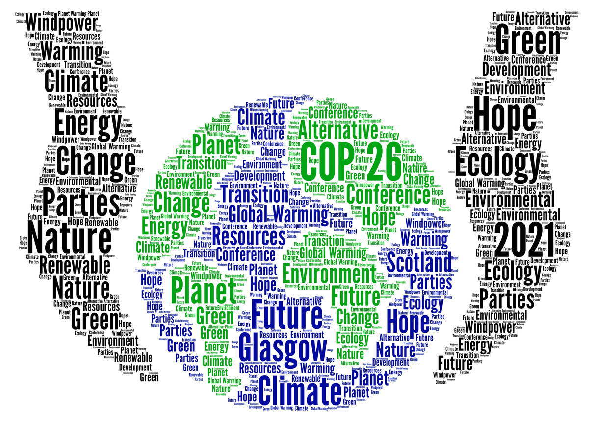
In our previous article on climate change, we examined how temperatures and weather are changing on a global scale. We will now look into how governments are reacting to ...
11 Oct 2022
When Voltaire said, “men argue, nature acts”, he would not have known about the twenty-six global climate summits that have occurred since 1995, or the 20cm #weather #climatechange #weatherrisk #weatherapp #dataquality
04 Oct 2022
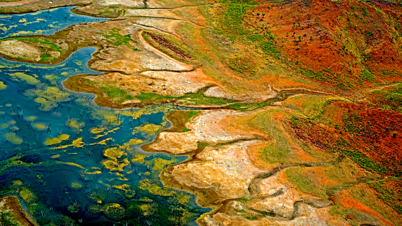
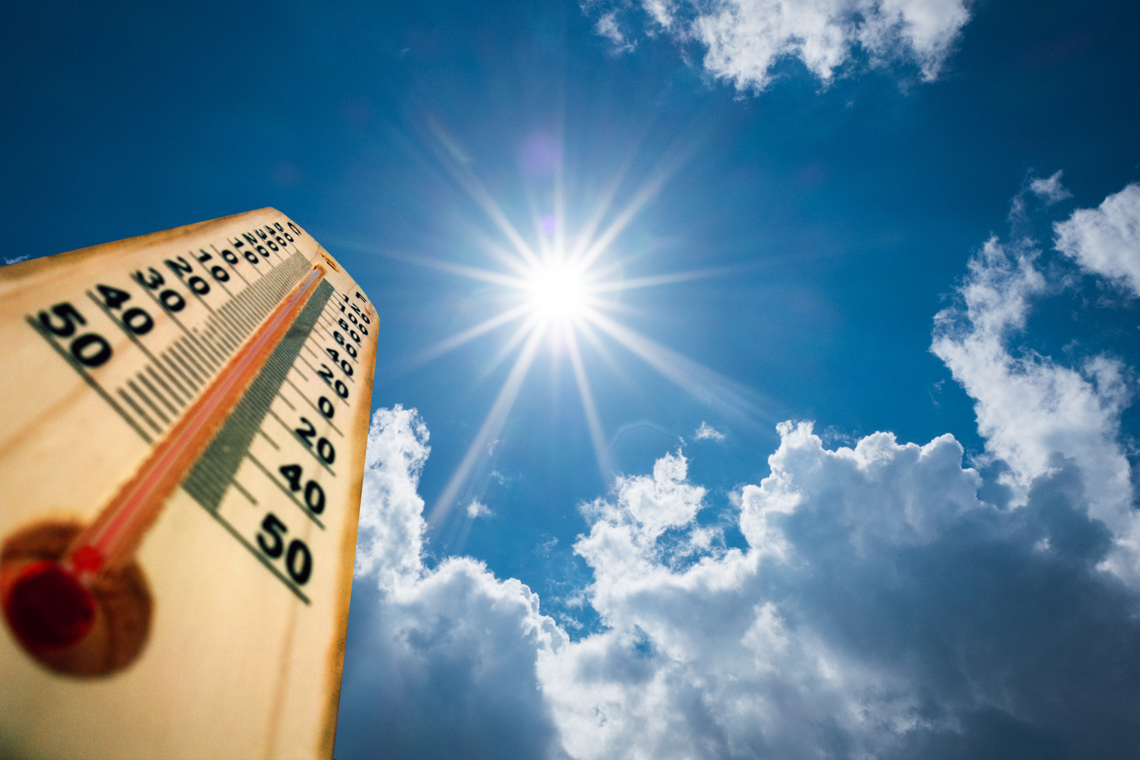
During this year we have seen some unprecedented high temperatures around the world.

12 Jul 2022
Using only the OpenWeather One Call API 3.0, a wide range of accurate and detailed weather information can be obtained from just one API.
02 Jul 2022
Rising global temperatures have proved to create both opportunities and challenges to individuals, organizations and governments. The future rate of global warming is still unknown and weather forecasting is becoming increasingly important.
25 Jun 2022
We will be looking at the various areas of sustainability and our environment, new technologies, global government and company initiatives, and the way we are adapting to our climate in a new series of articles.

21 Jun 2022
The World Data League (WDL) represents the gathering together of the world’s leading data scientists to create real-world solutions to socially orientated problems, helping create a positive impa...
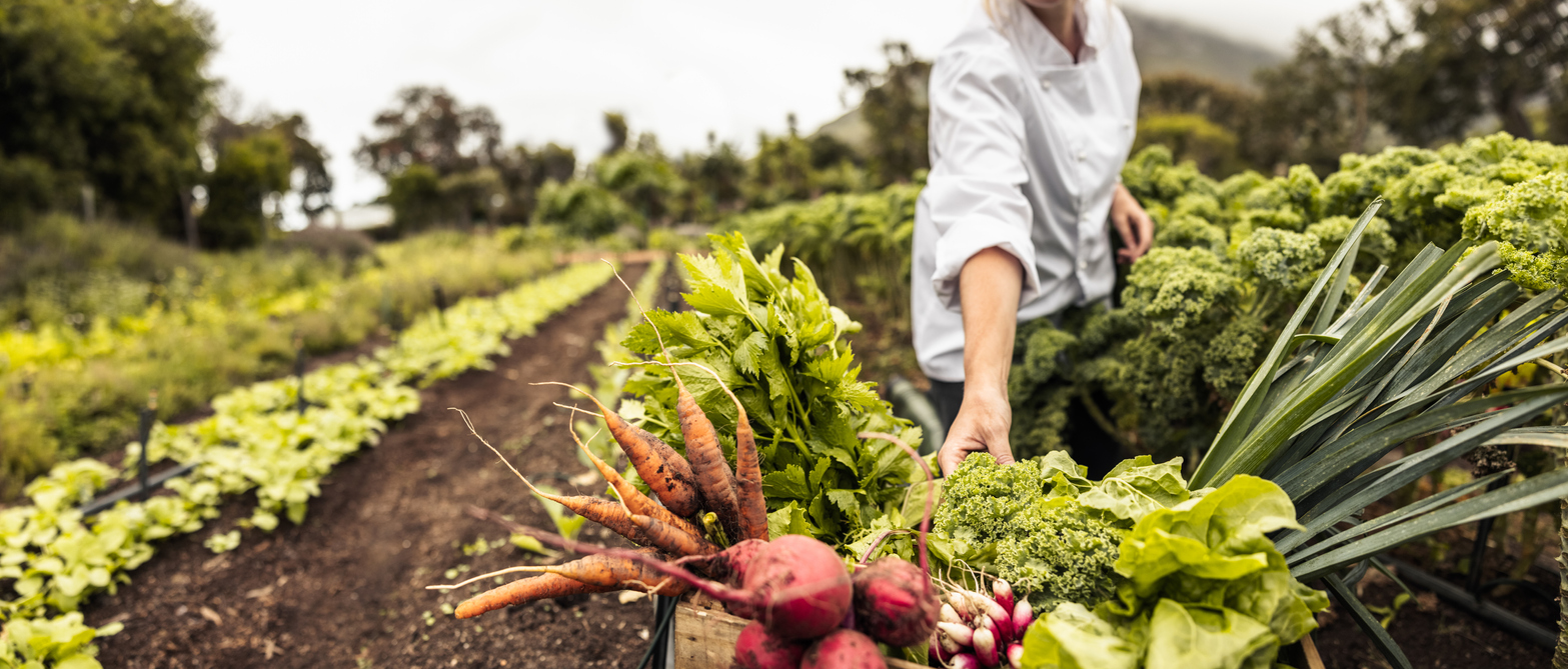
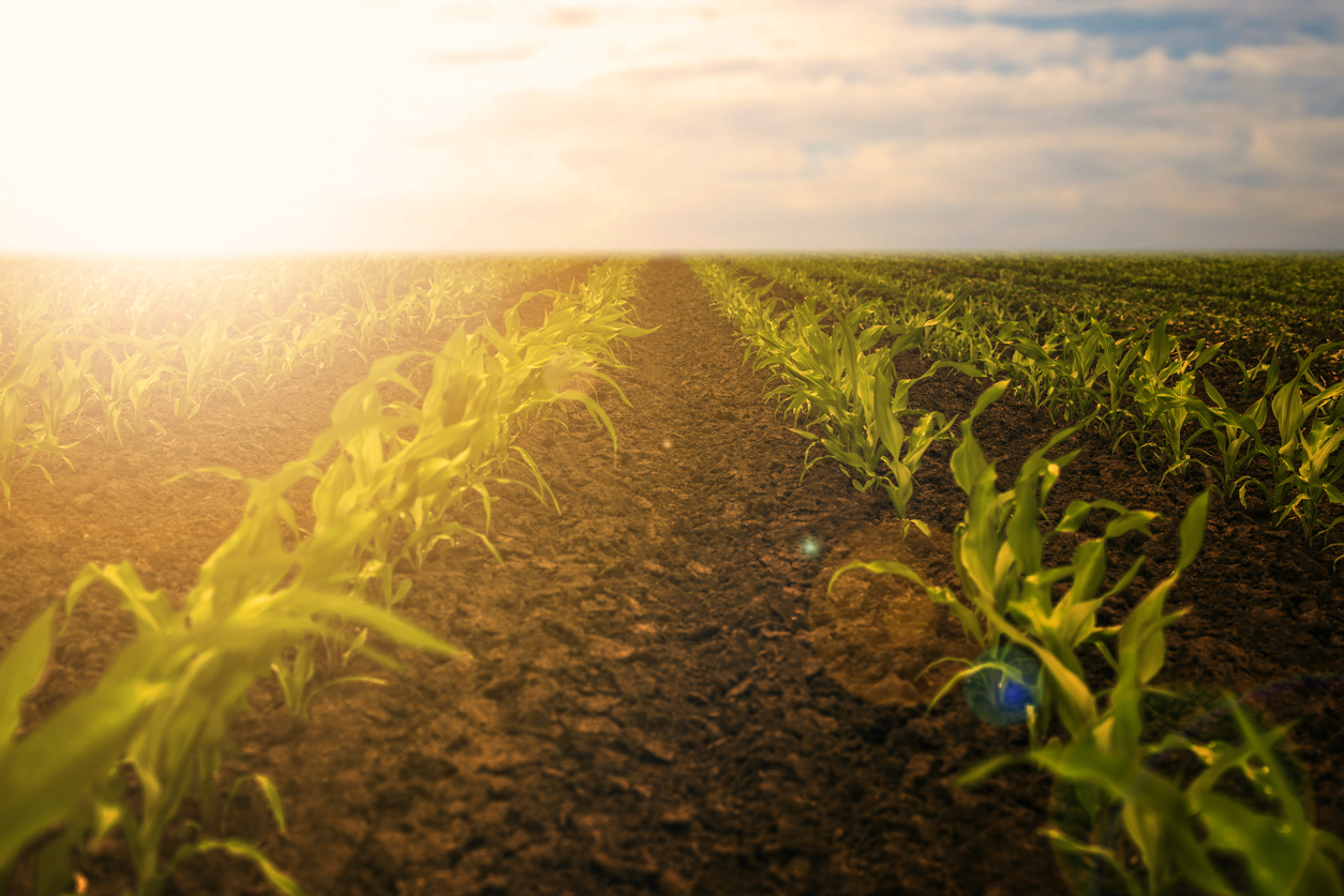
19 Jun 2022
How regenerative agriculture and new technological advances are helping farming adapt to climate change.

17 May 2022
Dave Waters once said “predicting the future isn’t magic, it’s artificial intelligence”.
Download OpenWeather app