
The first version of our updated Dashboard!
Posted on 03 Apr 2019
Dear readers,
We are pleased to tell you that we have launched the first version of our updated Dashboard!
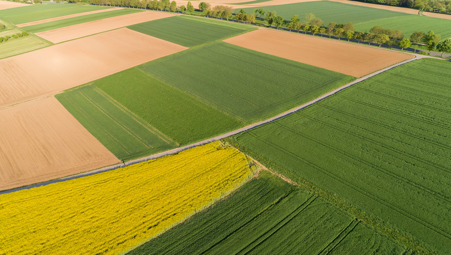
The main purpose of this significantly advanced version of the Dashboard is to visually demonstrate data that we provide in our Agricultural API, such as satellite imagery; NDVI/EVI vegetation indices and their values for the previous periods; current weather; forecast and historical weather data; accumulated precipitation and temperature; soil data; and others.
The updated version is not only perfect for developers, who can see a great example of working with our Agro API – it is also great for farmers who want to easily get agricultural data about their fields in order to make informed decisions.
If you are already registered for our systems, just use your OpenWeather login and password. If you are a new user, please register here.
You can already get the following data from your polygons in the first version of the Dashboard:
- All available satellite imagery of your polygon. These images can be viewed in true/false colour, NDVI and EVI.
- The NDVI and EVI values that are calculated by using satellite images for the particular day (such as minimum, maximum, average and other statistical values).
- Historical NDVI chart. Select the relevant timeframe and find out how the NDVI index has been changing for your polygon.
Users of Agro API, and customers who used the older version of the Dashboard, will still have access to all previously created polygons in the new version.
Here are a few simple steps to quickly start working with our product:
- Log in to the Dashboard using your OpenWeather username and password, or register.
- Draw your polygon and enter its name in the “Create polygon” section.
- Go to the “Satellite imagery“ section to view information for your polygons. The “Images” tab allows you to view all available satellite imagery for each of them. You can find all the statistical and historical satellite data underneath the map.
A detailed description of how to work with the Dashboard can be found here.
Please let us know about any questions and suggestions – email us at info@openweathermap.org!
We are going to add weather data in upcoming versions of the Dashboard. Follow our updates!