
Weather Map 2.0 and Relief Maps – #1: Description of products
Posted on 21 Feb 2019
Weather map 2.0 and Relief maps are products that allow developers to add weather and relief maps to their applications using simple URL requests.
In the new version, you can get forecast and historical weather maps in addition to current weather maps, along with a wide range of weather layers.
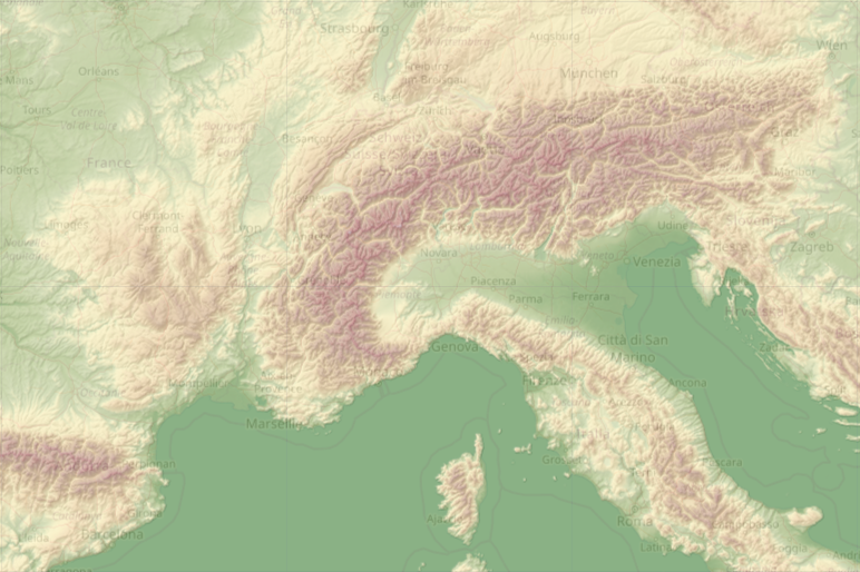
The relief map allows you to set the position of the light source and adjust the transparency of the colour layer. This allows developers to use these settings as a base layer for weather maps.
We provide current weather maps, forecast weather maps for 10 days, and historical weather maps for any day and time since 9 February 2018. To get these weather maps, you just need to change a single parameter in the URL request.
Weather layers in Weather Map 2.0
We combine 15 weather layers in our new Weather Maps 2.0:
- Convective precipitation
- Precipitation intensity
- Accumulated precipitation
- Accumulated precipitation: rain
- Accumulated precipitation: snow
- Depth of snow
- Wind speed at an altitude of 10 metres
- Joint display of wind speed (colour) and wind direction (arrows), received by U and V components
- Atmospheric pressure on mean sea level
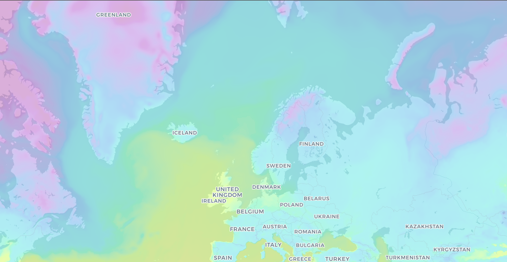
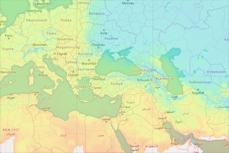
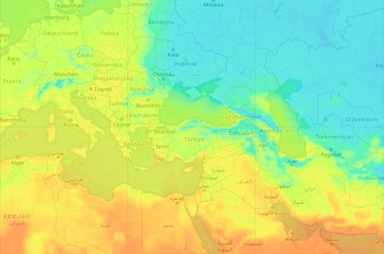
- Air temperature at a height of 2 metres
- Temperature of a dew point
- Soil temperature: 0–10 сm
- Soil temperature: >10 сm
- Relative humidity
- Cloudiness.
You can find more information about weather layers here.
A relief map is a combination of a layer tint (coloured raster) and a hillshade. You can customise each of these layers, and set the position of the light source with additional parameters.
How to get the weather and relief maps
You can obtain weather maps and relief maps by using simple URL queries with a specific set of parameters. Instructions on how to make such requests, along with full lists of parameters, are given in the detailed documentation for weather and relief maps.
Weather maps
URL format
http://maps.openweathermap.org/maps/2.0/weather/{op}/{z}/{x}/{y}
Detailed description of the parameters
Example of URL request for “Air Temperature at a Height of 2 Metres” weather layer
http://maps.openweathermap.org/maps/2.0/weather/TA2/{z}/{x}/{y}?appid={api_key}
Relief maps
URL format
http://maps.openweathermap.org/maps/2.0/relief/{z}/{x}/{y}?appid={api_key}
Example of URL request with setting of “set the position of the light source”
http://maps.openweathermap.org/maps/2.0/relief/{z}/{x}/{y}?sun_az=180&sun_el=135&opacity=1&appid={api_key}
Detailed description of the parameters
Palette
You can use custom palettes for each layer for weather and relief maps. Also, we provide an opportunity to create a palette for yourself and pass it to the URL request. To pass the colour code, use the hexadecimal format.
You can find more information about how to work with palettes in the weather and relief maps documentation.
Example of a URL for a weather map with your palette – the “Air Temperature at a Height of 2 Metres” weather layer
http://maps.openweathermap.org/maps/2.0/weather/TA2/{z}/{x}/{y}appid={api_key}& fill_bound=true&opacity=0.6&palette=-65:821692;-55:821692;-45:821692;-40:821692;-30:8257db;-20:208cec; -10:20c4e8;0:23dddd;10:c2ff28;20:fff028;25:ffc228;30:fc8014
Example of a URL for a relief map with your palette
http://maps.openweathermap.org/maps/2.0/relief/{z}/{x}/{y}?palette=0:FF0000;1000:00FF00;3000:0000FF&appid={api key}
Libraries and other tools for working with weather and relief maps
As an interface for working with URL queries and forming maps and layers, we recommend the Open Layers library and the Leaflet library. You can also use any other apps that support the display of layers.